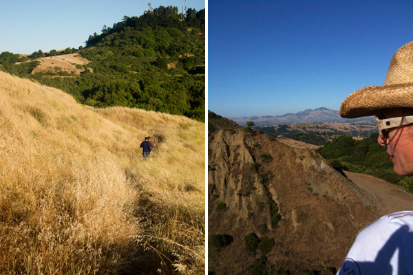
I want to get back to my sum-sum-summertime thread of fun stuff to do while the days are long and afternoons are warm (though these last few morning have been foggy and brrrrr!) So far I’ve covered our local swimming hole (Lake Temescal), musical theater under the stars (Woodminster Theater), the best movie palace in the East Bay (Grand Lake Theater), and today we’ll be exploring Sibley Volcanic Regional Preserve, and man, there’s a lot to it for such a small park!


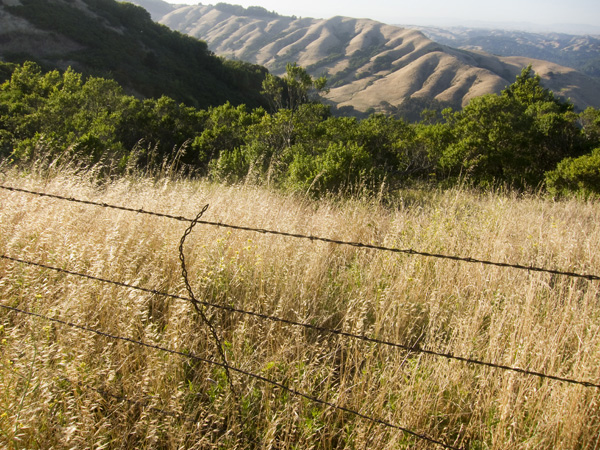
Located on the border of Oakland via Skyline Boulevard, Sibley Volcanic Regional Preserve is actually in Contra Costa County proper and is managed as part of the East Bay Regional Park District. The park, similar to others in the East Bay hills, hosts a network of interconnected trails meandering over grassy hills, through woodland forests, and along vista-viewing ridgetops. What this park has that the others don’t are some really fantastic features:
- An extinct volcano and its geological remnants, exposed for study.
- At least four, perhaps five, constructed labyrinths for meditative meanderings.
- Amazing views of the sun sinking into the bay.
ROUND TOP VOLCANO
Sibley is the site of a 10 million year old volcano complex, responsible for most of the lava rocks underlying our East Bay ridgeline from Berkeley down to Moraga. The volcano was created as a result of the forces on the two major continental plates in the region (the Pacific Plate carrying the Pacific Ocean, and the North American Plate carrying California among other things). Most of us know it’s the friction between these two plates that causes our earthquakes today, but did you know this force was also responsible for volcanos? As the plates collided, the Pacific Plate dipped below the North American, plunging into the Earth’s depths to be heated and melted into magma, to later rise back to the surface as lava. Cool, huh?
There’s actually a series of volcanoes that follow this collision path, but Sibley is completely unique due years of geologic folding and erosion that literally tilted the volcano on its side, and additional quarrying of the site (harvesting materials for road building, etc.) that further exposed its guts. No other volcano in California has an interior exposed to this degree.
The park is dotted with numbered sign posts and visitors are encouraged to discover the more interesting features through a self-guided tour (info provided in park brochure). There is also an interactive display at the parking area hosting information about the park’s geology (from Paleozoic era onward), wildlife, plants, and more…


LABYRINTHS
Anyone who’s hiked the trails of Sibley has likely discovered at least one of the labyrinths tucked into the nooks and valleys of this park… there are at least four.
According to Webster’s Dictionary a labyrinth is “an intricate combination of paths or passages in which it is difficult to find one’s way or reach the exit” or a “maze of paths.” But this does not seem entirely accurate (at least not in this context). Wikipedia offers this:
In colloquial English labyrinth is generally synonymous with maze, but many contemporary scholars observe a distinction between the two: maze refers to a complex branching (multicursal) puzzle with choices of path and direction; while a single-path (unicursal) labyrinth has only a single, non-branching path, which leads to the center. A labyrinth in this sense has an unambiguous route to the center and back and is not designed to be difficult to navigate.
These are the types of labyrinths that exist at Sibley… there is one way in, and one way out. With origins dating back centuries to a variety of religions and regions, these are thought to be spiritual and/or meditative exercises, symbolic of pilgrimage. Often the “stones [are] ceremonially placed on the ground to magnify spiritual energy” and typically are laid out in a north-south and east-west orientation. (Friends of the Labyrinth)
In my years of hiking at this park, I believe I’ve come across them all, but strangely enough have never photographed them. Call it subconscious superstition, or perhaps just stupidity, because now I wish I had some damn photos! The largest one is just a short walk from the parking area and was created by Helena Mazzariello, a Montclair sculptor and psychic, as “a gift to the world.” You can see it below in this Google map (lower center) as well as smaller one directly above (top third)…
Other labyrinths in the park are unattributed and there is much folklore surrounding their origins and current uses, including full moon rituals by local witches and warlocks. Ahem. Here is another large one, located north west of the Mazzariello Labyrinth…
And here is a smaller heart-shaped one friends and I hiked last week (left, thanks to Tim for the photo):

It’s always a treat to walk through these, not just for the experience of circling back upon oneself, weaving inward only to be directed back out… like a metaphor for life, but also to arrive at the spiritual center, where previous visitors have left various trinkets – rocks, jewels, feathers, seeds, notes, etc. – whose meaning we can only wonder about.
SUNSET
Last but not least, the sun! A friend of mine lives very close to Redwood Park (another favorite hiking destination) but whenever we get together to tromp through the hills, he always says, “Let’s go to Sibley… let’s go to the sun!”
Unlike many of the other nearby ridgeline parks (Huckleberry, Redwood, Roberts) that have vistas facing East (great views of the reservoirs and Mt. Diablo), Sibley also has clear exposed ridges facing West, exposed to late afternoon sun and gorgeous views of the bay. It’s a sweet spot to watch the sun set over the Golden Gate Bridge…


Additional info…

Nice pics and write up! We’re more often to Huckleberry (closest) and Redwood (larger) than Sibley, but we love Sibley, too. A couple weekends ago we hiked on the trail from Huckleberry to Sibley.